VerticalProfileOperator.ClosingHeight Property
Gets or sets the height at which lines are closed to polygons.
Syntax
public System.Double ClosingHeight { get; set; }Property Value
Default: -5000
A height above sea level, in meters, at which lines are closed.
Remarks
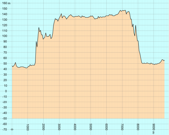
When Close is true, an elevation raster will generate two output features: both a line and a polygon. The polygon is created from the line by adding two extra corners: their x values will be 0 and the horizontal length of the route, while their y values (their heights) will be the ClosingHeight.
 |
The default value is usually good enough when you want to close the line downwards. But it is sometimes useful to close it upwards by setting ClosingHeight to 90000, say, so that the polygon will represent the air instead of the ground.
Platforms
Windows, Linux, Android