VerticalProfileOperator.Close Property
Gets or sets a flag that allows different output colors above and below ground.
Syntax
public System.Boolean Close { get; set; }Property Value
Default: false
False if an elevation raster shall generate an output line only. True if it shall also generate a polygon representing the area below ground.
Remarks
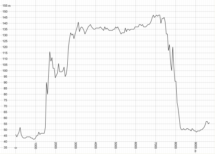
Here is a profile generated with Close = False.
 |
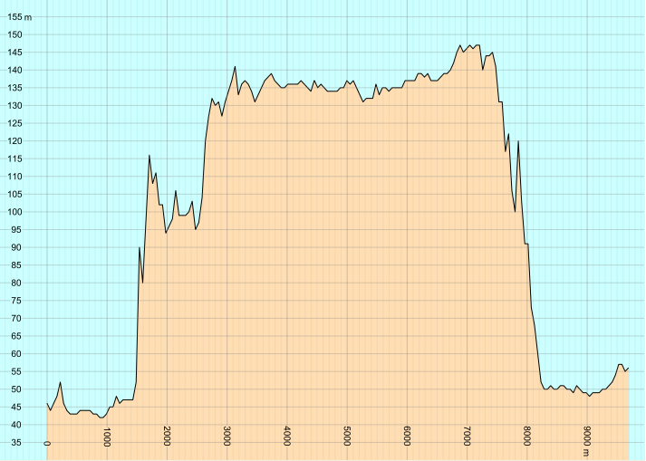
When Close is True, the output from an elevation raster comes in two formats: first as a downward-closed polygon, and then as a line. Here is a profile generated with Close = True. The blue sky is the background color of the View.Drawable, while the brown earth is generated by a PolygonVisualizer. Since we did not want the black LineVisualizer to be applied to the polygon, we added the condition "geoType = #line" to the LineVisualizer.
 |
See also ClosingHeight.
The Close property has no effect on vector data from input, nor on land-cover data.
Platforms
Windows, Linux, Android