DensityQuery.BlurLengthUnit Property
Gets or sets the length unit for the Blur value.
Syntax
public VisualizerLengthUnit BlurLengthUnit { get; set; }Property Value
Remarks
You would normally express the Blur value either in meters or in screen pixels.
If you display the density rasters in a 3D view, you should always choose meters, because the screen pixel size in 3D does not correspond to a constant distance in meters on the ground. So the choice of length unit is an issue only for a 2D view.
Meters
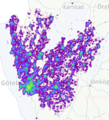
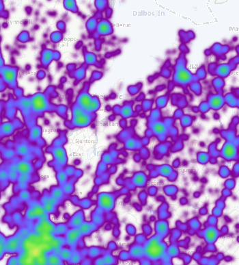
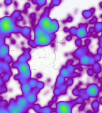
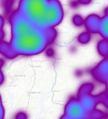
If you ask a statistician, who uses kernel functions to estimate a probability density function, they would say that the blur (or kernel bandwidth) should be carefully selected, and of course expressed in meters. With this approach, we could choose a Blur of 1000 meters, say, and the DensityDataSet will then behave as a plain raster dataset with built-in overviews.
 |
 |
 |
 |
Pixels
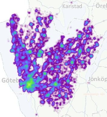
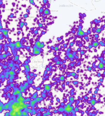
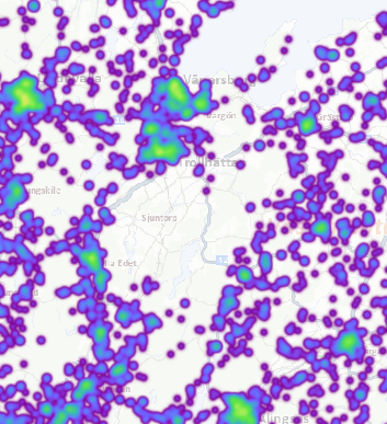
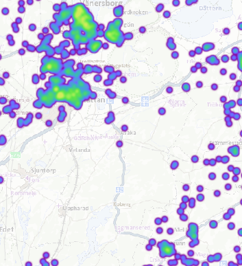
However, most Carmenta Engine users will probably use the DensityDataSet mainly for cartographic purposes, and in 2D cartography it makes sense to use a constant Blur expressed in screen pixels. The more you zoom in, the more details are revealed, which is what you want in cartography: it is not necessarily an issue whether the details are statistically significant.
You can still regard the density dataset as a raster dataset with built-in overviews, but the overviews for the more zoomed-out scales have got additional Gaussian blur, which gives a kind of automatic map generalization as you zoom out.
 |
 |
 |
 |
Platforms
Windows, Linux, Android