Vertical Profile Sample
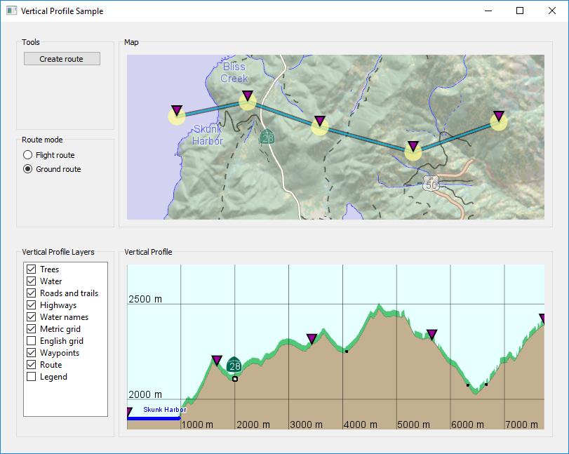
This sample, using C++ and Qt, lets the user create a route in a 2D map, and then displays the vertical profile along the route in a separate view.
The sample can be built using Visual Studio or QtCreator by opening the samples CMakeLists.txt file.
 |
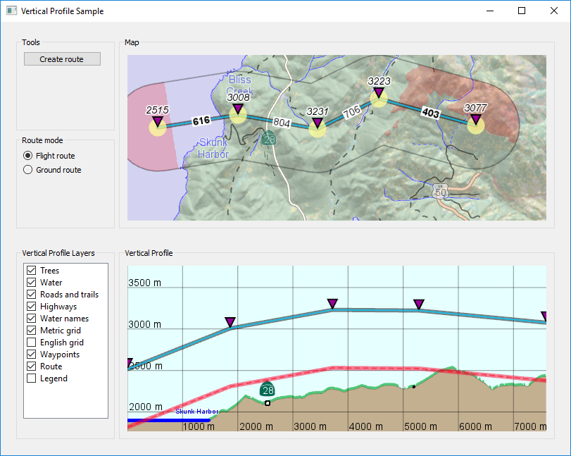
If your license key has the extension Vertical Clearance you will be able to change the route mode to "Flight route". Waypoints will then get an altitude of 3000 meters on creation, and the flight route will be displayed as a blue line in the vertical profile view, where you can modify the waypoint altitudes by drag and drop. In the 2D map, the waypoints will get italic labels with their altitudes in meters, and the route segments will get non-italic labels with their clearance above ground in meters. The required clearance is assumed to be 700 meters, and too low clearance is displayed in three ways:
In the 2D map within a buffer zone of the route, a semi-transparent red color is used for ground that has less than 700 meters clearance up to the nearest part of the route.
In the 2D map, the labels for route segment clearance will be bold if less than 700 meters.
In the vertical profile view, the blue route line is complemented with a red line 700 meters below it, so the clearance is too low where the red line goes lower than the terrain profile.
 |