Nautical Chart Extension
The Nautical Chart Extension for Carmenta Engine provides a set of components used to read and display nautical geodata.
The S57DataSet can read the S-57 standard developed by IHO, the International Hydrographic Organization, and also nautical geodata stored as AML, Additional Military Layers.
The two datasets CM93RasterDataSet and CM93VectorDataSet can read the CM93/3 format developed by C-MAP.
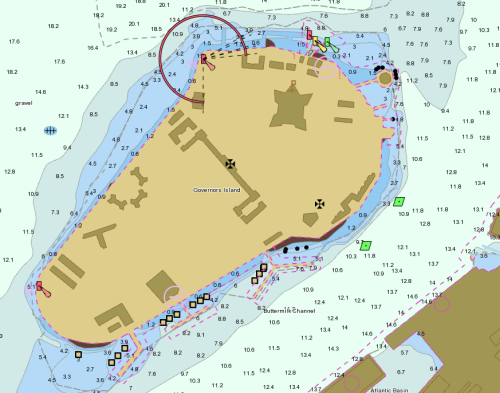
Most users will probably start looking at S-57 and AML nautical data using the included S52Visualizer, which provides standardized visualization of virtually all nautical chart features.
Commercially available chart data are often protected in accordance with the International Hydrographic Organization (IHO) S-63 standard. The S63 class can be used to manage a database of S-63-protected chart data, allowing it to be accessed by S57DataSet the same way as unprotected S-57 files.
 |
Nautical Chart Standards
The Nautical Chart Extension is based on the following International Hydrographic Organization (IHO) Standards. Please see www.iho.int for more information.
IHO S-57
The IHO S-57 standard defines a nautical chart data format. It is sometimes referred to as the IHO Transfer Standard for Digital Hydrographic Data. The Nautical Chart Extension provides the S57DataSet to read data files in S-57 format.
IHO S-63
The IHO S-57 standard defines a protection scheme where the S-57 data is encrypted, and only licensed clients can decrypt it. It also provides means for a client to validate that the S-63 data comes from a trusted source.
IHO S-52
The IHO S-52 contains specifications for chart content and display aspects of an Electronic Chart Display and Information System (ECDIS). In short, S-52 defines how S-57 data should be visualized in order to produce a nautical chart. The Nautical Chart Extension provides the S52Visualizer to accomplish this task.