MillerCylindricalProjection.StandardParallel Property
The latitude of the standard parallel, on which the scale is true.
Syntax
public System.Double StandardParallel { get; }Property Value
Default: 0.0
A Double in degrees.
Remarks
The latitude of the two standard parallels, at equal distance from the equator. A Miller projection is normally constructed with the equator as the only standard parallel, which means that its scale is true only at the equator: on latitude 60°, for example, the projection will enlarge an eastbound line segment by a factor 2.00, and a northbound one by a factor 1.49. But if you set StandardParallel to 60°, then the projection is compressed by a factor 2.00 in the west-east direction and a factor 1.49 in the north-south direction, which makes 60° N and 60° S into standard parallels, where the scale is true. The Miller projection is conformal on its standard parallels, but not elsewhere (unless compromise is 1).
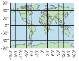
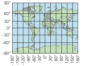
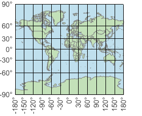
The four sample maps, shown under Compromise, have been modified below to have their standard parallel at 45° instead of 0°. These maps are presented in the same nominal scale as the original ones.
The two middle samples below are similar to the Gall Stereographic Cylindrical projection, often used in British atlases (but not supported by Carmenta).
 |
 |
 |
 |
Platforms
Windows, Linux, Android